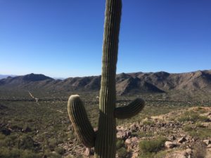
 The master planned community of Dove Mountain sits right at the base of the Tortolitas and thankfully is pretty close to our home. Because of that it’s a location that’s convenient to run at, although some of the trails feature some fairly rugged terrain with large boulders. Previously I had explored all of the different trails other than Cochie Springs Trail. Today I decided to go check out this trail that sits farthest to the west, in a separate canyon from all the other trails. This particular trail also is an out & back so had never looked quite as appealing before. My opinion of its appeal certainly changed though.
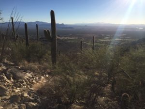
 Like all these trails near the Ritz Carlton you start off at the Wild Burro Trailhead, just before the Ritz itself. Initially you head north up the Wild Burro trail which weaves back and forth over a wash while gradually ascending. About 3/4 of a mile in you come to the first major junction where the trails begin to split off. Turning to the left heading west quickly brings you across the wash again and to another junction, with the Burro heading north and the Upper Javelina continuing up the hill to the west and providing access to both the Wild Mustang and Cochie Springs trails. It’s worth noting that each of these trails is color coded as well making identification of them while running much easier. Upper Javelina is fairly short but pretty steep and very rocky, with many large boulders that just aren’t as much fun to navigate. Thankfully it is a short trail and once you get on top of the hillside, above the Ritz, you start on the Wild Mustang trail briefly before the trail for Cochie Springs breaks off, heading south for a bit before bending to the west across to the other side of the hill and the aptly named Cochie Canyon. It’s on this section of trail that you have a really neat view of the golf courses below in the distance and distant Tucson Mountain views.
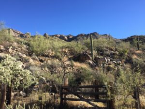
 Once on the Cochie Canyon trail (and actually beforehand on Wild Mustang) the terrain becomes much more runnable. It’s definitely fairly rocky footing, but smaller rocks that are more easily managed, not too dissimilar to the Phoneline Trail in Sabino Canyon. Also like the Phoneline Trail is that the Cochie Spring Trail runs for a couple of miles about midway up against the mountain side. Because this is the most remote trail it certainly appeared it wasn’t heavily trafficked. There was some overgrowth but most of the grass alongside the trail appeared to have been fairly recently cut. While there are some sections that are flatter, the trail mostly features some rolling uphill and downhill. There are some areas of larger boulders that again are slightly more difficult to manage and a couple of steeper sections, but they’re few and far between. Eventually the trail descends down off the hillside and into the wash of the canyon with a sign right beforehand telling you that you’re now 5 miles from the trailhead. Once to the wash
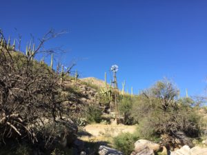
  you’ll see an old cattle station and windmill. The trail was much more overgrown through this area and the path became less obvious but simply stay on the same, east side of the wash. There are some cairns if you look closely enough too. I went just a little bit further up the trail here since my training plan only called for 10 miles this day. Based on the map the trail does continue on for almost another mile though and I believe with a little bushwhacking you can actually connect to jeep roads that lead all the way around the other side of the Tortlitas.
My impressions of the trail were very favorable overall and the rolling terrain provided a good solid workout. The 10.5 miles I covered showed a total elevation gain of between 1,667 feet (Strava) to 2,303 feet (Garmin). As with most rolling trails the elevation gain can vary quite a bit. Based on my feel of the run I’d say the elevation gain was probably somewhere smack dab in the middle at about 2,000 feet or just under. I’ll certainly be returning to this trail, especially in the winter months when the slight overgrowth provides a bit less concern for snakes.
